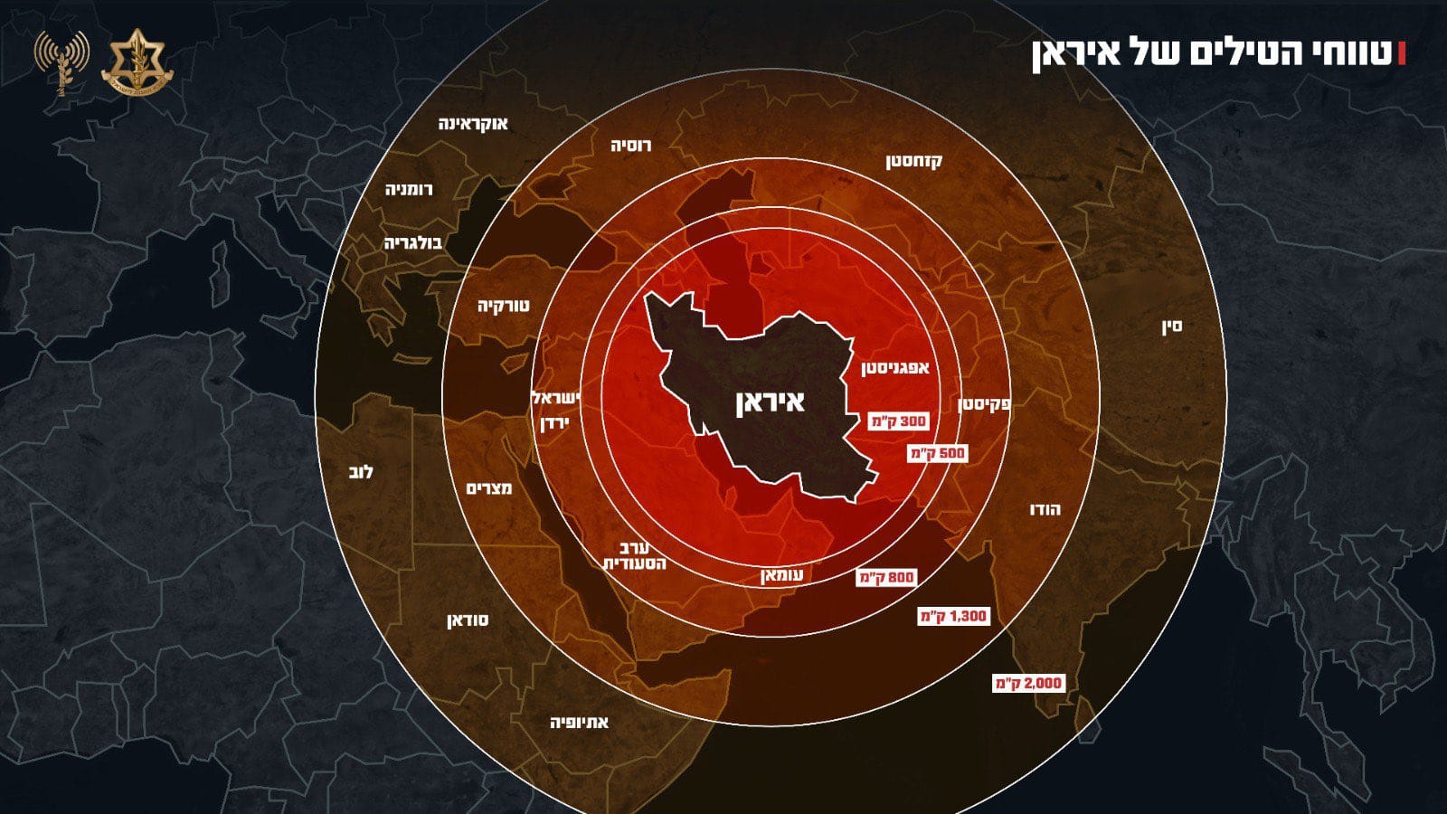
The Israel Defense Forces (IDF) issued an apology on Friday after sharing a map on social media that showed parts of Jammu and Kashmir as part of Pakistan. The map, which was part of a post about Iran’s missile capabilities, drew sharp criticism from Indian users online.
The image was posted at a time of growing tensions in West Asia, following Israeli airstrikes on Iran targeting military and nuclear facilities. However, it was the incorrect map that caught the attention of Indian netizens. Many pointed out that the graphic disrespected India’s territorial boundaries.
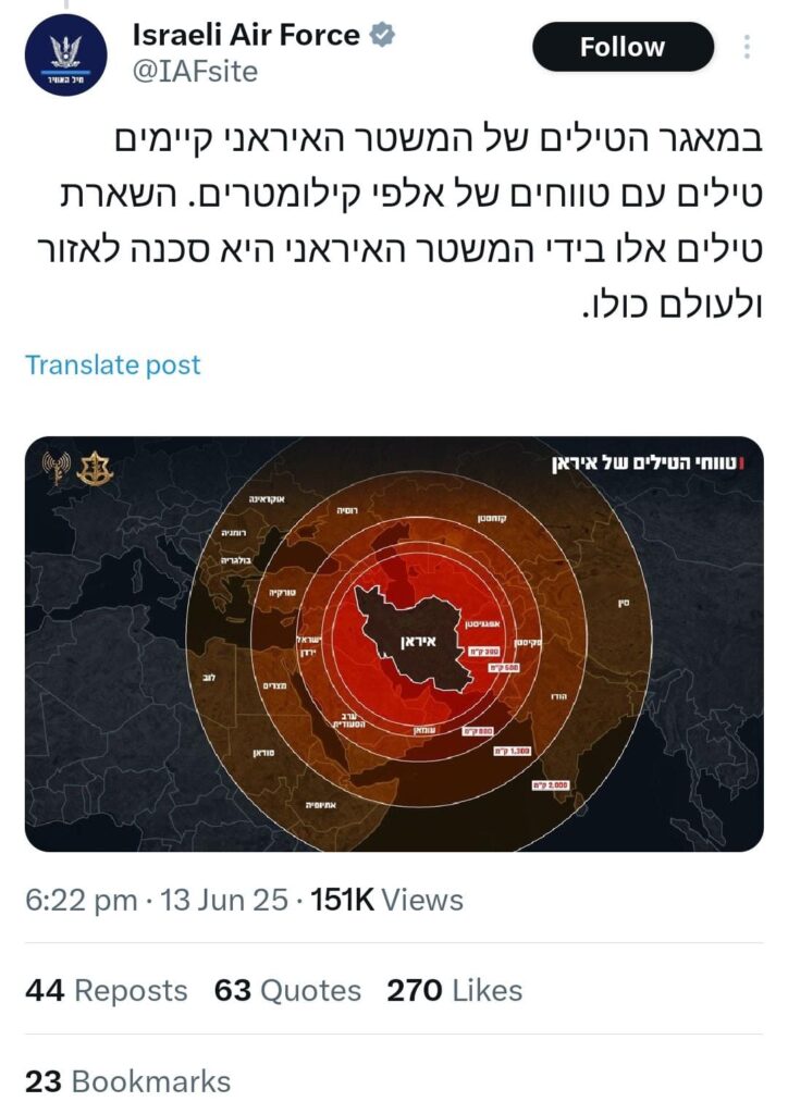
One social media user commented, “Now you understand why India remains neutral. In diplomacy, no one’s really your friend.” Another said, “Kindly correct India’s boundaries. Don’t make such blunders.”
After the backlash, the IDF replaced the map and posted an apology: “This post is an illustration of the region. This map fails to precisely depict borders. We apologise for any offence caused by this image.”
This is not the first time such an issue has come up. In October 2024, a similar controversy occurred when Israel’s official government website displayed a map that showed part of Jammu and Kashmir as belonging to Pakistan. That map was also removed after people raised concerns.
At the time, Israel’s Ambassador to India, Reuven Azar, responded on social media saying, “Website editor’s mistake. Thank you for noticing. Was taken down.”
In reply, the user who flagged the issue said, “Greatly appreciate Government of Israel’s proactive step to remove the incorrect map of India. Demonstrates Israel’s friendship with India, and genuine desire to strengthen the friendship. India stands with Israel.”
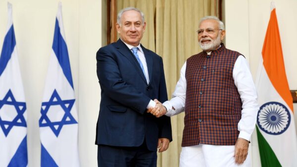
Despite strong diplomatic ties between India and Israel, these repeated mapping errors have upset many Indians who expect greater care in representing India’s borders accurately.
As one user put it, “India stands with Israel. But does Israel stand with India?”


